

MapQuest has experienced an unexpected and remarkable resurgence over the past couple of months, capturing the attention of tech enthusiasts and everyday commuters alike. The veteran mapping service and app recently surged in popularity after taking a distinct stance on a minor geographic naming debate, refusing to refer to Lake Ontario as Lake America—a change that both Google Maps and Apple Maps adopted for users in the United States. Beyond that independent streak, MapQuest has also rolled out a series of useful, long-overdue modern features designed to bring its platform up to speed with contemporary navigation tools, including the rollout of Android Auto support and the addition of public transit directions for commuters.
Now, the platform is introducing another feature that bridges the gap between traditional navigation and public privacy awareness. MapQuest has updated its service to include a new toggleable map layer that allows users to see the locations of known outdoor surveillance cameras and automated license plate readers directly within their neighborhoods and along their routes.
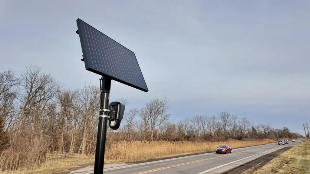
This newly introduced map layer pinpoints the exact locations of Flock Safety cameras, which have become increasingly common fixtures on suburban streets, suburban intersections, and highway offramps across the country. In addition to Flock hardware, the comprehensive layer also displays the geographic locations of outdoor surveillance cameras and tracking infrastructure manufactured and operated by several other major security and tech entities. These include systems from Motorola Solutions through its Vigilant subsidiary, Genetec, Axis Communications, Axon, Leonardo operating via ELSAG, Neology, Rekor, PlateSmart, Ubicquia, and Verkada.
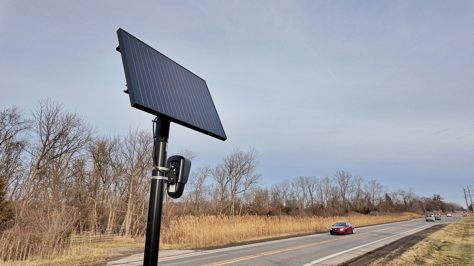
For everyday users navigating the app, finding this new data layer is designed to be straightforward. The surveillance camera toggle sits directly alongside other familiar options within the user interface, such as traditional traffic overlays and incident reporting layers, allowing drivers and pedestrians to switch the visibility of these lenses on and off with minimal friction.
To announce the rollout of this privacy-conscious feature, MapQuest took a notably wry approach. The company shared the update alongside a short promotional video cleverly set to Rockwell’s classic 1980s pop hit "Somebody’s Watching Me," a creative touch that did not go unnoticed by tech commentators and users tracking the release.
While the inclusion of these camera locations on a commercial map app is unlikely to allow drivers to effortlessly avoid every piece of surveillance hardware during their daily commutes or routine errands, the feature serves a broader, more informative purpose. For many residents, the new map layer provides a striking visual illustration of just how pervasive automated outdoor monitoring systems have become in modern communities. The tool offers valuable, transparent information for individuals, community advocates, and privacy groups who are actively working to understand, track, or rid their neighborhoods of ubiquitous surveillance cameras.